It was indeed a WWII-era base. Apparently nowadays it’s used as a state correctional facility, but there is some speculation that it’s a federal facility, and even, a possible FEMA camp.
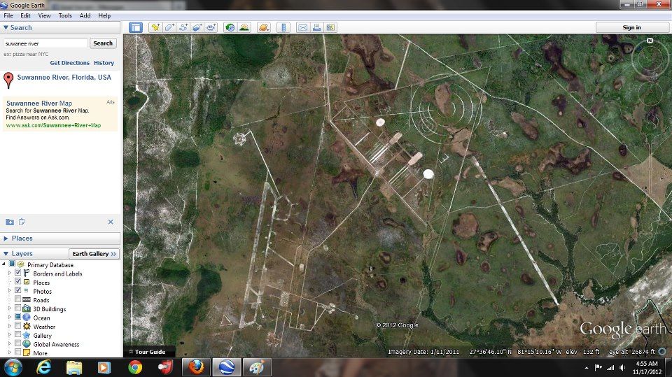
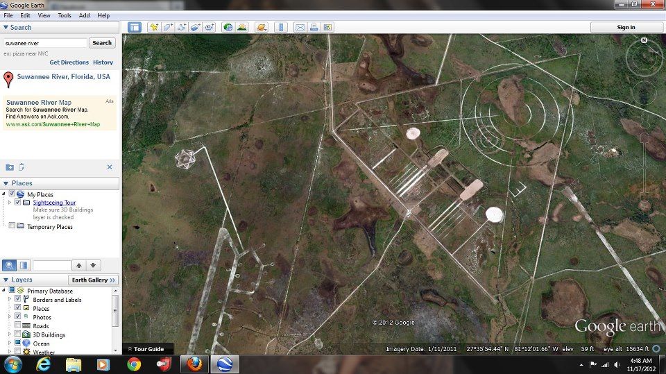
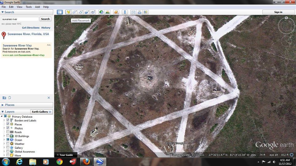
The area we discovered is part of the air force range itself.
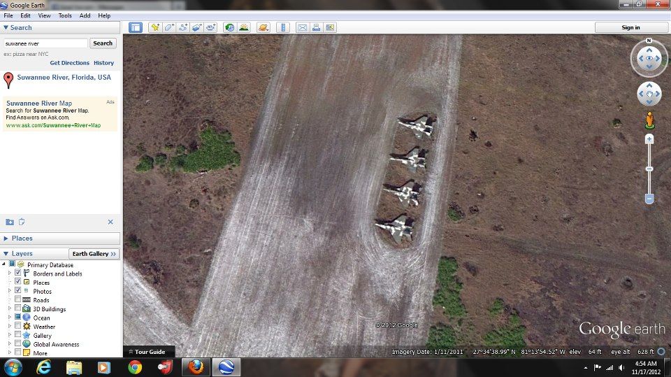
"The drones are 10.5 feet by 11 feet with 30-inch propellers. They were powered by Continental gas engines and flew 225 to 250 miles per hour, the story stated.
The drones were launched from a circular rail system allowing them to travel around until gaining flying speed.
The drones were then piloted by remote control in the range for awaiting soldiers who manned B-29 turrets with .50 caliber machine guns. The drones were sent across the firing line at an angle to avoid the guns."
The circles we saw were probably the rail lines that launched the drones perhaps.
Currently the Department of Defense is considering using the site to launch modern drones, although the current base commander doesn’t think the base has the infrastructure to support it.
Also, the two areas with the esoteric symbols and whatnot are both ACTIVE gunnery and bombing ranges.